
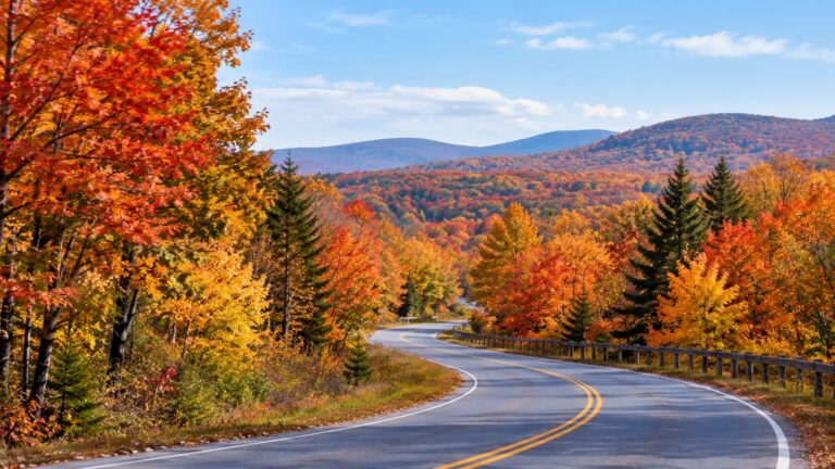
Most foliage trips go wrong the same way: someone picks one "peak weekend" months ahead and hopes. If you're deciding when to see fall colors in New England, go north to northern Maine and New Hampshire's White Mountains in late September and the first week of October. Expect southern New England to peak a couple of weeks later. If you can choose only one window, make it the first week of October and stay ready to drive toward the color.
New England doesn't turn all at once. The color starts high and far north, then rolls south and downhill until it reaches the Connecticut and Rhode Island coast. Once you see the season as a moving wave, planning gets much easier.
When is the best time to see fall colors in New England?
The season lasts several weeks, depending on where you stand. Northern Maine and the White Mountains go first, and Vermont follows close behind. The southern states finish the season, so some road in New England is near peak for most of October.
That's why a single fixed peak weekend is a bad bet. Peak in any one valley is short, and the weather can push it earlier or later with little warning. A windy storm can strip a hillside overnight. Meanwhile, a warm spell can keep the same hillside green longer than any forecast said.
So book a direction, not a date. Choose a base that lets you slide north if you're early or south if you're late. That one decision does more for your odds than any prediction map.
The foliage calendar, region by region
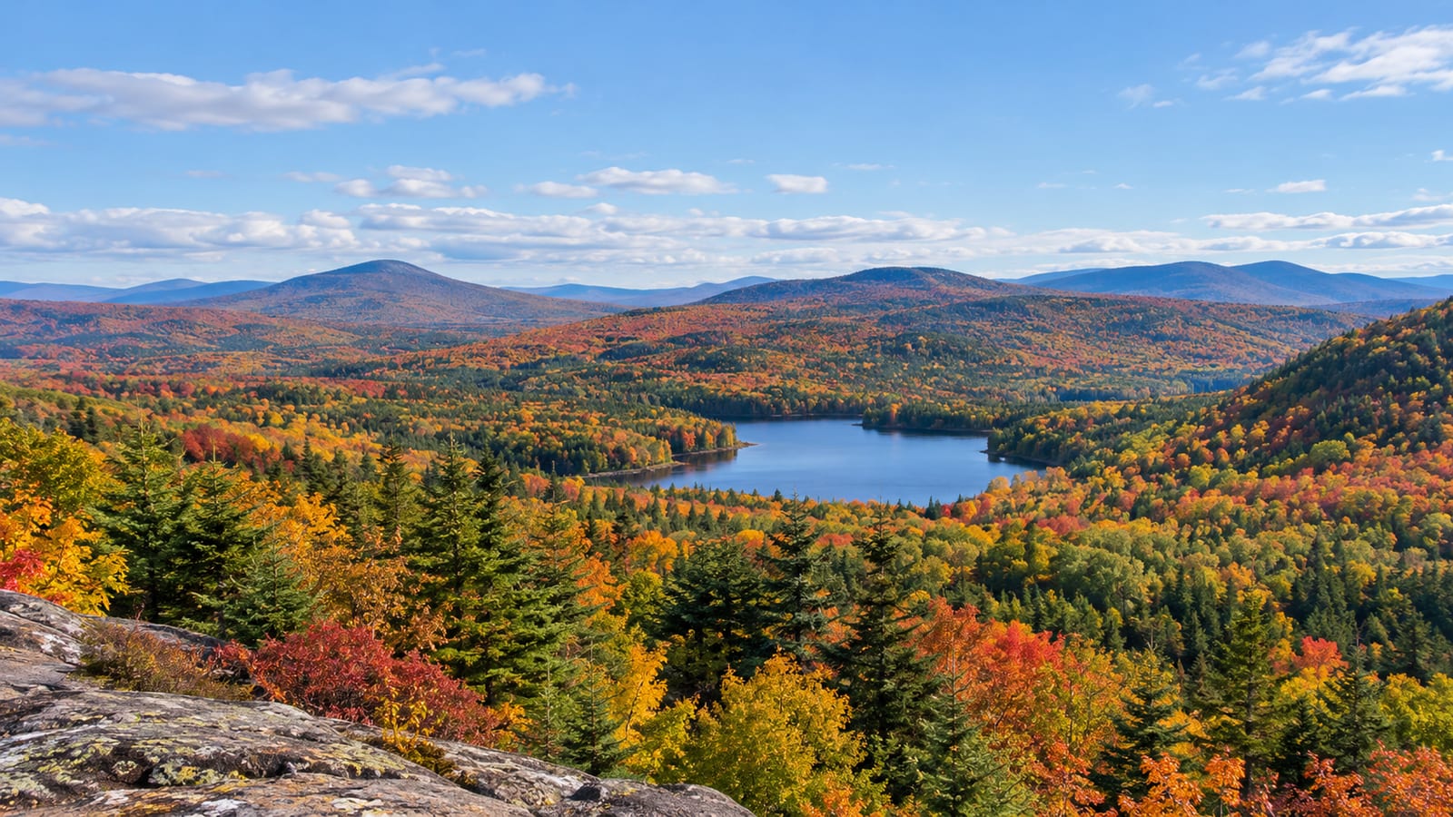
Here is how the season usually moves across the region. Treat these as typical windows, because every year runs a little early or a little late.
| Region | Typical peak | What to know |
|---|---|---|
| Northern Maine | Last week of September into the first week of October | Earliest broad color, but long drives between towns |
| New Hampshire's White Mountains | Late September and early October | High ground and cold nights make it reliable |
| Vermont | One popular prediction map put the statewide peak in the week of Oct. 7 | The north and the hills turn first, the south later |
| Massachusetts | After Vermont, before the coast | The Berkshires turn well ahead of Boston |
| Connecticut | Late September to early November | Depends on region and elevation |
| Rhode Island and coastal Connecticut | Late October to early November on the coast | Rhode Island shows its brightest colors in October |
Look at how wide Connecticut's window is. The hills in the northwest turn long before the shoreline does. Elevation can matter as much as the state line, and that holds everywhere on this table.
Massachusetts sits in the middle of the pack. The Berkshires and the Mohawk Trail, which is Route 2 across the state's northern hills, color up before Boston does. So if you're starting in the city, drive west and uphill for the earlier show.
Why the White Mountains turn so early
Height and cold nights do most of the work. The White Mountains sit far north and climb high, so their nights turn cold before the rest of New England feels fall. As a result, they're the first big target of the season and the most dependable one.
Leaf color starts when days get shorter and nights get cooler. Trees stop making the green pigment in their leaves, and the yellows and oranges underneath show through. Sugar maple reds get brightest after sunny days and crisp, cold nights, and the mountains deliver those early.
The tree mix helps too. Maples give you red and orange, while birches and beeches give you gold. Dark spruce and fir on the upper slopes make all of it stand out. Most of this land sits inside the White Mountain National Forest, which is why the drives feel so wild.
Elevation also hands you a backup plan. The top of a mountain pass can be glowing while the valley floor around Lincoln is still mostly green. Arrive early in the season and you climb to the color; arrive late and you drop down to find it.
How does weather change the peak?
Weather sets both the timing and the brightness. Sunny days and cool nights through September usually bring the strongest reds. Cloudy, mild stretches tend to bring a softer, more yellow season.
A dry summer is the trickiest setup. Stressed trees can turn early, brown at the edges, or drop leaves before they fully color. On the other hand, a very wet season can leave the tones duller than usual.
Then there's the endgame. A hard frost can cut the season short. A nor'easter, the strong coastal storm with winds from the northeast, can take a valley from peak to bare branches in one weekend. A warm October does the opposite, holding leaves green longer and often muting them.
None of this is a reason to cancel. Still, it's a reason to check the forecast a few days out and pick your direction then. When it rains, low cloud drifting through the mountains makes its own kind of show, and the trails empty out.
Reading foliage maps without trusting them too much
Most color-progress maps are computer models built from weather forecasts, and many are published weeks ahead. They also paint whole counties one shade, even though a valley and the ridge above it can be days apart. So use them for the general trend and nothing more.
The best tools are the ones closest to the ground. Knowing when to see fall colors in New England matters less than knowing where to drive this week. Here is the order I check things in:
- State foliage reports. New Hampshire's official tourism site, Visit NH, posts foliage updates through the season, and Vermont publishes regular reports too.
- Live webcams. Ski areas, summits, and town cameras show you this morning's actual color.
- Recent visitor photos. Search the exact road or trail name and look only at the last day or two.
- Color-progress maps. Check these last, for the big picture.
The small detail people miss is the location tag. A photo labeled "Vermont" tells you almost nothing. However, one tagged Smugglers' Notch and posted yesterday tells you what you'll drive into tomorrow.
Build a trip that can move with the color
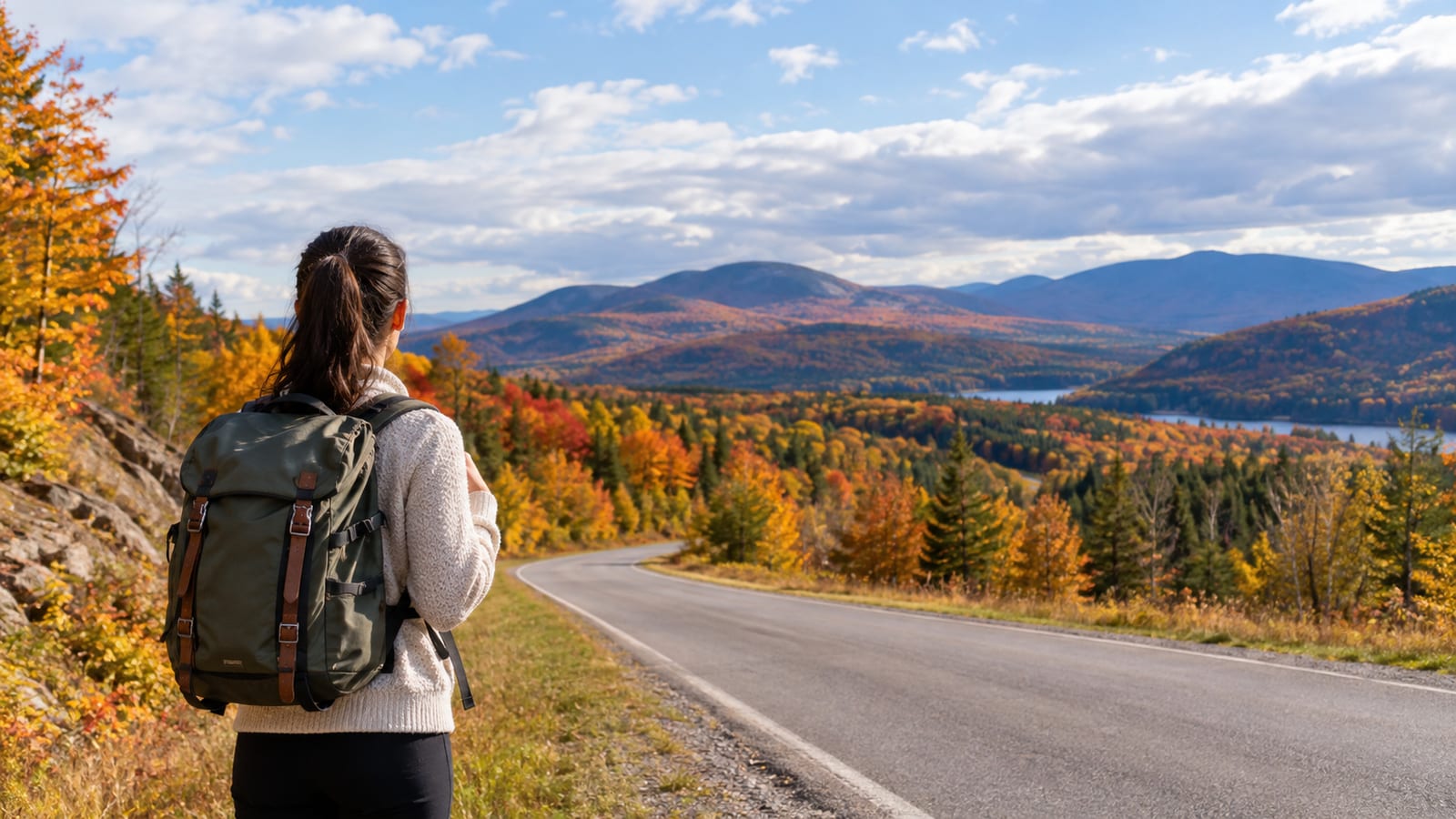
Pick one base and use it as a hub. You want a town with good roads in at least two directions, so you can chase color without packing up every morning. In New Hampshire, Lincoln and North Conway sit at opposite ends of the Kancamagus Highway, and each has a mountain pass within easy driving distance. In Vermont, the Mad River Valley around Waitsfield puts you in the middle of Route 100.
Book a room you can cancel if you can find one. Then run your days like this:
- On the first morning, check the state report and one webcam before you leave.
- If the valleys are still green, head high: the passes, the ridge overlooks, the lakes up north.
- If the hilltops look bare, drive south and downhill toward Massachusetts or Connecticut.
- Keep one low-key plan for a wet day, like a general store lunch, a covered bridge, or a bookshop.
- Leave one afternoon open, because you'll want it.
If foliage is one stop on a longer trip, my East Coast USA road trip guide shows how New England fits with the rest of the coast. Even so, give the leaves more days than feels efficient. A few nights in one hub beats a different motel every night.
Three scenic drives and when each one shines
Each of these drives suits a different moment in the season. Match the road to the week you have.
Kancamagus Highway, New Hampshire
The Kancamagus Highway, Route 112, is the best first foliage drive in New England. Locals call it the Kanc. It climbs over a high pass between Lincoln and Conway, with river gorges, waterfalls, and long mountain overlooks along the way.
Go when the White Mountains peak. The downside is real: everyone else knows about it too. Start at dawn, or plan to crawl.
Route 100, Vermont
Route 100 runs north to south through the middle of Vermont, past farms, white churches, and villages like Warren, Granville, and Weston. It's the slower, classic trip, with general stores and cider stands along the way. Time it for when central and southern Vermont are near peak. Then drive it north to south as the color slides down the state.
Skip it if you want big alpine drama. Take it if you want to slow down.
Rangeley Lakes Scenic Byway, Maine
The Rangeley Lakes Scenic Byway runs through the western Maine mountains past a string of big lakes. You get wide water, long reflections, and far less traffic than the White Mountains. Color comes early this far north, so plan it for the front end of the season, before the southern states crest.
The tradeoff is distance. Rangeley is a long drive from anywhere, and services are thin, so fill the tank in town.
The White Mountains: notches, overlooks, and traffic
The White Mountains pack the most color into the least driving, which is also why they jam up. A notch, the old New England word for a mountain pass, funnels both the views and the cars onto one narrow road.
The Kanc: overlooks and short walks
Services along the Kanc are thin, and cell service is patchy for much of the drive. Download your maps and buy lunch in Lincoln or Conway before you start. Many pull-offs and trailheads also need a White Mountain National Forest recreation pass to park, sold at pay stations at many of the lots.
For views, the Pemigewasset Overlook and the Hancock Overlook near the top of the pass are easy pull-ins. For a short walk, Sabbaday Falls is an easy trail to a narrow gorge, and Lower Falls and Rocky Gorge sit right off the road. On a peak Saturday, though, the eastern stretch toward Conway slows to a crawl by late morning.
Franconia Notch
Franconia Notch is the easiest notch to reach, because I-93 runs right through it as a parkway. Echo Lake reflects Cannon Mountain on a still morning. The short, steep climb to Artist's Bluff gives the classic view over the lake and notch. Its small lot fills before sunrise on peak weekends, though.
The Flume Gorge boardwalk is worth it too. Expect a line in season.
Crawford Notch
Crawford Notch, on Route 302, is the quietest of the big three and my pick when the Kanc is jammed. Stop for Arethusa Falls, one of the tallest waterfalls in New Hampshire. Or take the short hike up Mount Willard for a long look straight down the notch.
A scenic train also runs through the notch. That's a good choice if you'd rather someone else drive for an afternoon.
Lakes and ridgelines that make the color feel bigger
Water doubles the color. A lake on a calm morning reflects the whole hillside, and a high overlook shows you ridge after ridge turning at once. Those views feel far bigger than any single roadside maple.
Height of Land, on Route 17 along the Rangeley Lakes Scenic Byway, is the stop to plan around in Maine. The pull-off looks down on Mooselookmeguntic Lake and the mountains around it. In the morning light, the water often sits flat.
In Vermont's Northeast Kingdom, Lake Willoughby sits in a deep, narrow gap between steep cliffs. It feels more like a fjord than a lake. Because it's tucked away from the main foliage routes, it stays quiet even on busy weekends.
In New Hampshire, the short hike up West Rattlesnake gives you a wide view over Squam Lake with far fewer people than the notches. Reflections are best early in the morning, before the breeze picks up. If you like quiet corners like these, my list of lesser-known places across the USA has more.
Which mistakes ruin a foliage trip?
Booking only one peak weekend is the big one. If the color runs early or late, you're stuck in the wrong place with a nonrefundable room. A movable base and a flexible booking fix most of this.
Arriving at midday is next. The light is flat, the lots are full, and traffic is at its worst. Most of what makes a foliage drive good happens before lunch.
Then there's traffic itself, which people badly underestimate. The Columbus Day or Indigenous Peoples' Day holiday weekend packs the Kanc, Franconia Notch, and Route 100 with cars. Go before or after it, or spend it on back roads.
Finally, don't treat every colorful map label as equal. "Near peak" on a county map can mean a glowing ridge and a green valley in the same view. Check a webcam before you commit to a long drive.
What to pack and when to start the day

Mountain mornings in fall can dip near freezing, even when the afternoons feel warm. So dress in layers you can peel off by lunch. Here's the short list:
- A warm hat, light gloves, and a fleece or puffy jacket
- A rain shell, because showers move through fast
- Shoes with grip, since wet leaves on trails are slick
- A headlamp, because daylight runs out earlier than you expect
- Snacks, water, and a full tank before roads like the Kanc
- Cash or a card for parking passes, plus offline maps
Start the day at first light. You get low, warm light on the hills, empty overlooks, and parking spots that won't exist by mid-morning. Wet leaves make the roads slick too, so take the curves slower than you would in summer.
Here is what I'd do first: choose your base town, then book a room there that you can cancel. Everything else can wait until you see which way the color is moving.
FAQ
Are foliage train rides worth it?
They're a good fit if you're tired of driving or traveling with someone who'd rather look than steer. You trade the freedom to stop wherever you like for a relaxed ride through scenery you'd otherwise only glimpse from the wheel. Book ahead in October, since seats on peak weekends go fast.
Can I see good color without a car?
Yes, though your choices shrink. Amtrak's Vermonter runs up the Connecticut River valley into Vermont, and the views from the window are good in season. Boston's Arnold Arboretum turns later in the fall, so you can still catch color in the city after the mountains are done.
Is it still worth going after peak?
Often, yes. Oaks hold deep rust and bronze tones after the maples drop, and tamaracks, a conifer that loses its needles, turn gold late in the season. Crowds thin out and room rates usually soften, which makes for a calmer trip.
How far ahead should I book a room?
For a peak weekend in the White Mountains or along Route 100, book as early as you can, because the good inns fill months out. Weekdays are much easier. If you're booking late, look a little farther from the main roads and accept a longer morning drive.